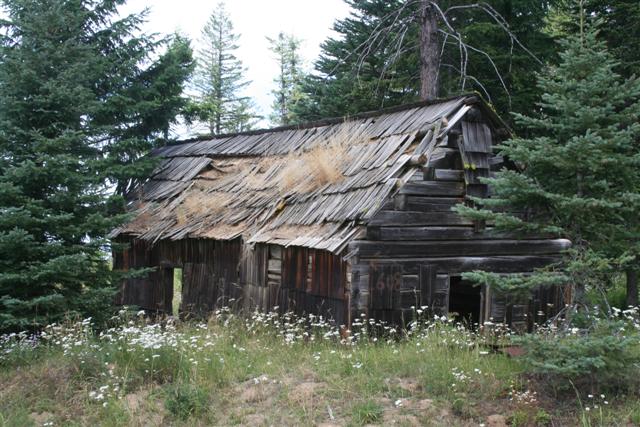
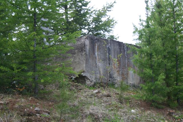
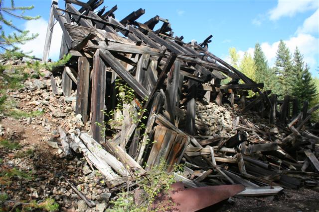
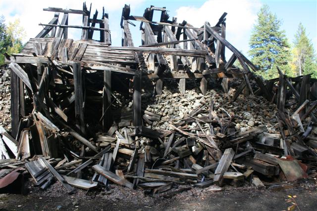
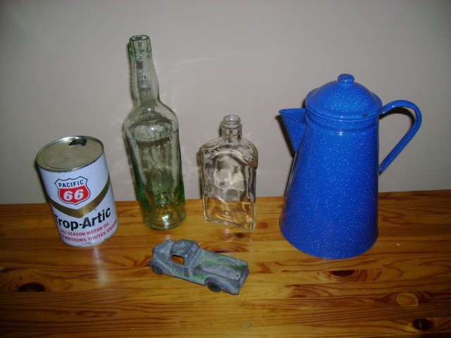
Ghost Town: Lost City of Paris
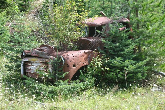
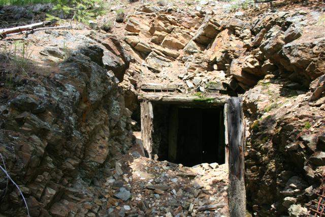
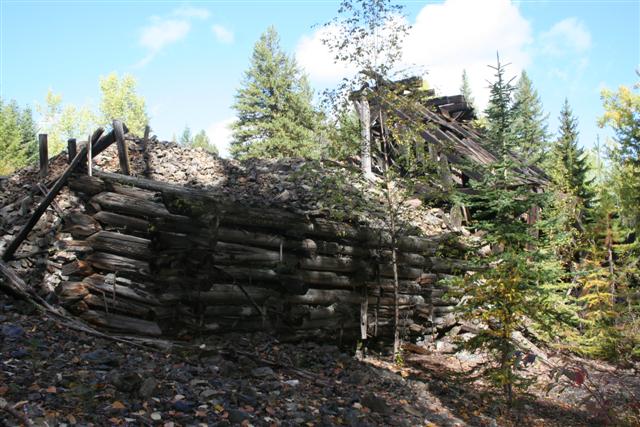
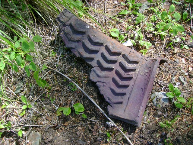
The City of Paris Mine is southeast of Greenwood at the elevation of 4521 ft. Production from the City of Paris Mine for the period 1900 to 1940 was 2118.5 tons of ore containing 58.5 lbs of gold, 306 lbs of silver, 66.5 tons of copper and a small amount of lead and zinc. About 85 per cent of this production was in 1900. Development of the City of Paris Mine began in 1898. At the end of the main period of production in 1900 the total mine development consisted of 5214 ft of drifts and crosscut tunnels, 702 ft. of raises and 387 ft. of shafts. The City of Paris portal is on the Number Four claim, with the underground workings extending easterly onto the City of Paris claim and the Lincoln claim.
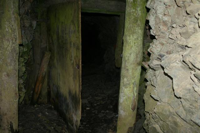
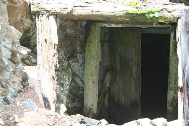
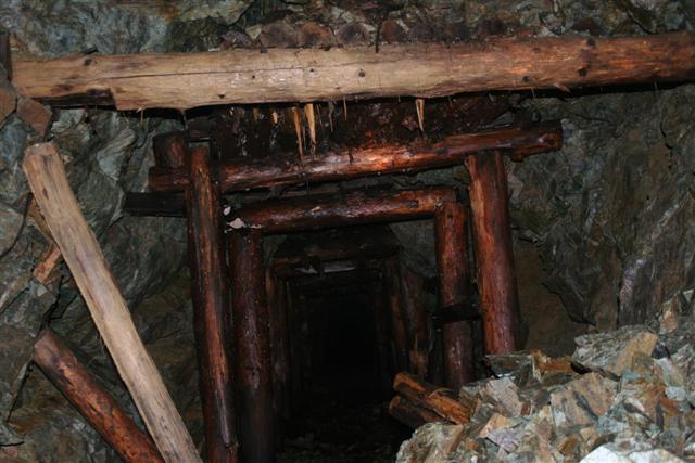
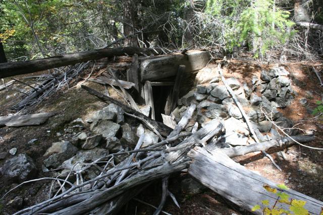
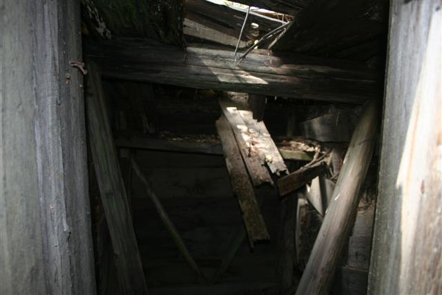
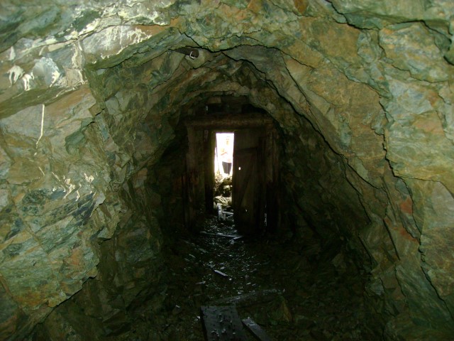
The City of Paris adit
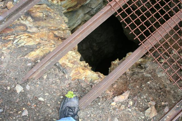
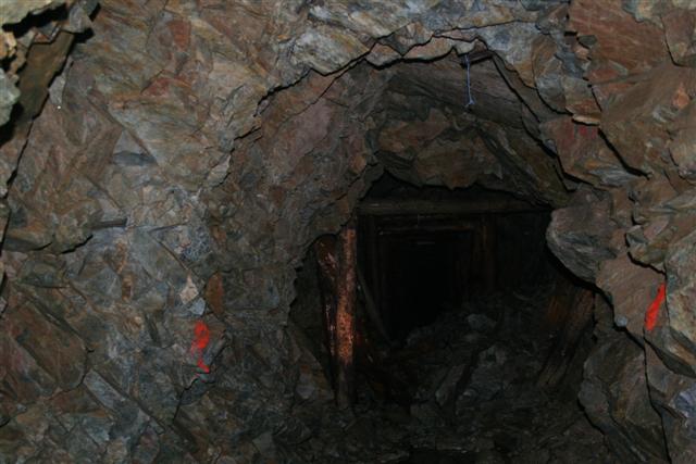
City of Paris shaft
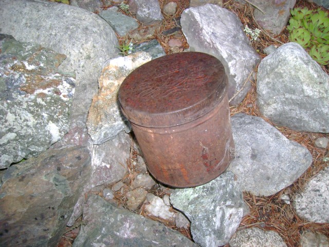
Core samples
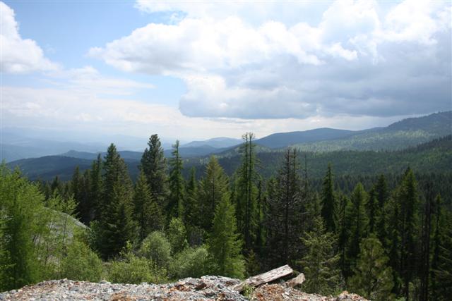
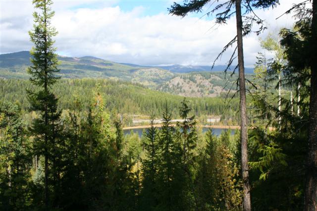
View from the City of Paris Mine
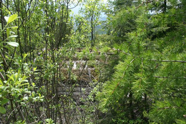
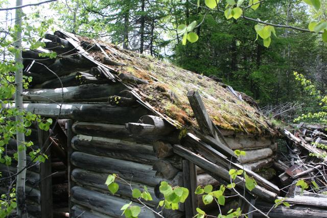
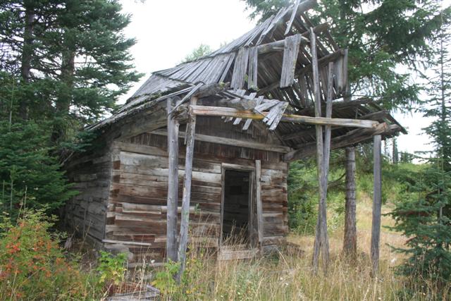
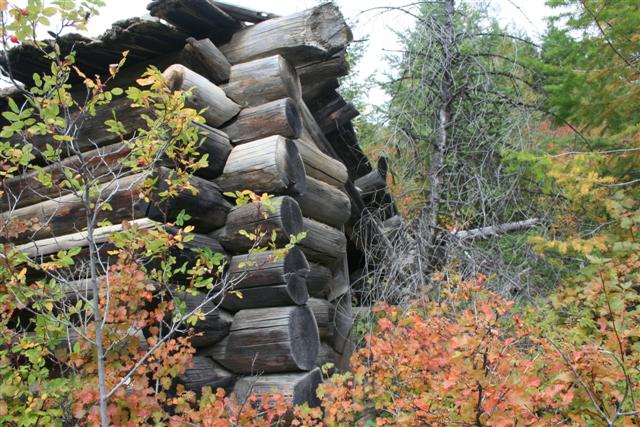
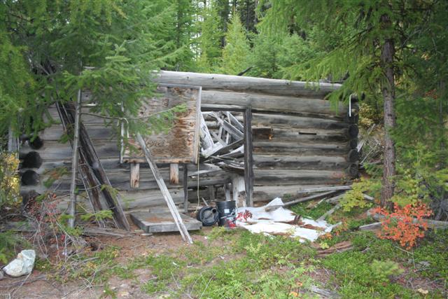
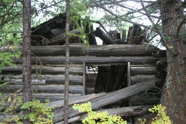
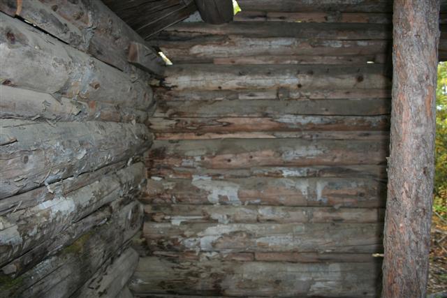
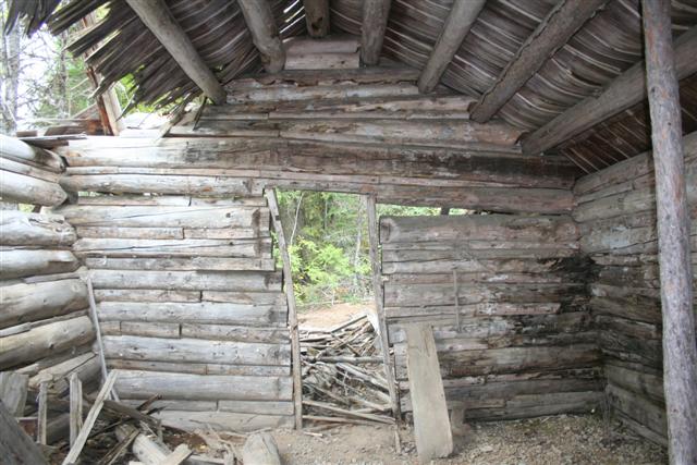
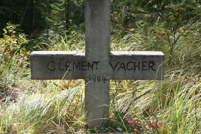
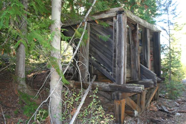
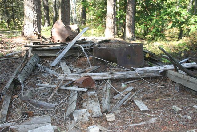
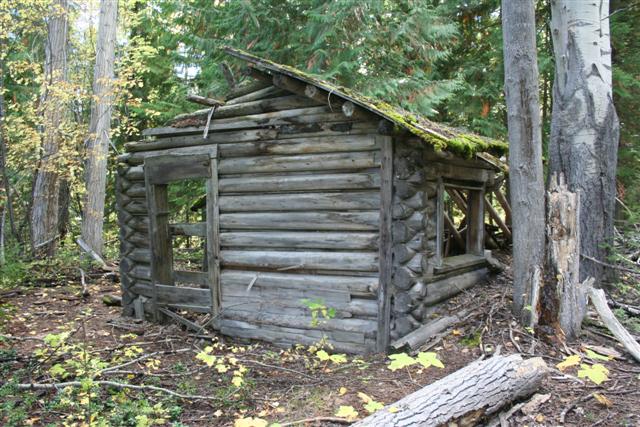
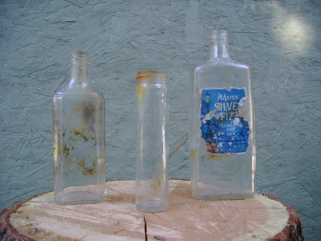
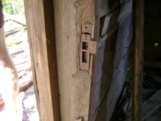
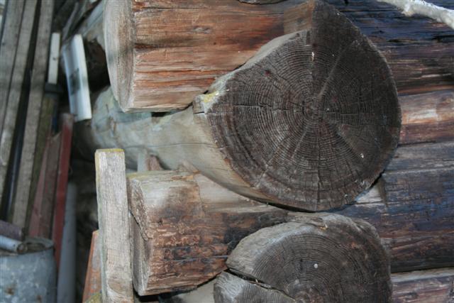
Clement Vacher's Cabin not far from City of Paris
Clement Vacher and associates acquired the City of Paris, Lexington, No 4, City of Denver, and adjacent claims in 1922.
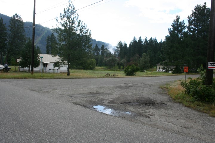
Ghost Town: Eholt
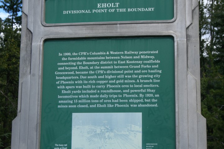
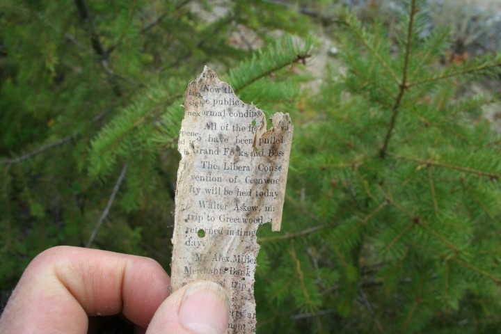
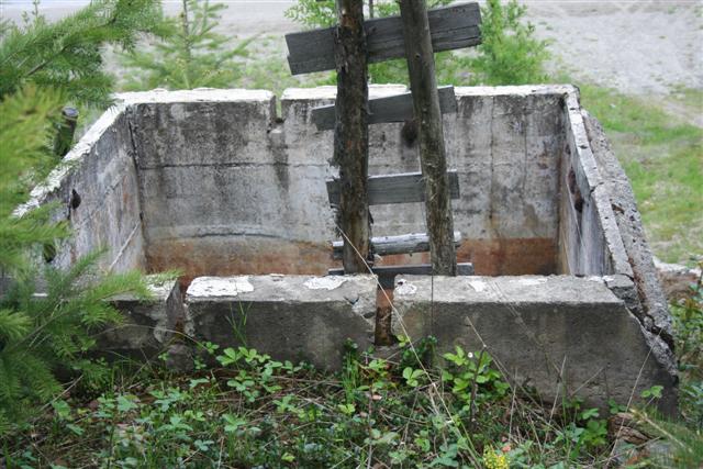
The summit between Grand Forks and Greenwood became CPR’s divisional point and headquarters for handling ore from many surrounding mines to the smelters. It also was a transfer point for shipping coal to the smelters from the east. Eholt was a town of about 250 railway workers and their families. Here the railway had machine shops, repair shops, a round house and a powerful shay locomotive, which made daily trips to Phoenix.
The steep 3.4% grade from Eholt to Phoenix caused some accidents. By 1905 the Great Northern Railway took much of the traffic from Phoenix to Grand Forks through an easier route.
Eholt had five hotels, a livery stable and stage line to Greenwood, a butcher shop, groceries, drug store, clothing store, lumber yard, and a few others. By 1901 Eholt had five wagon roads and three railroads leading to the town. Eholt, like many other small towns in the area, suffered greatly after the Great War (WWI) when copper and other minerals dropped drastically.
At one time, a busy town
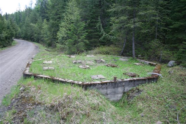
Foundation from a water tank for the engines
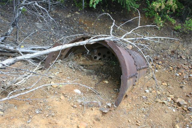
B.C. Mine
The B.C. Mine property is unique in the district, as the ore is principally chalcopyrite. By 1899 a single compartment shaft was sunk to 164 feet. The underground work consisted of 667 yards of tunneling and a 98 ft raise. A railway siding was constructed and the first shipments of high-grade copper ore were shipped to the Canadian Smelting Co. Ltd. in Trail, then to the Granby smelter at Grand Forks. The B.C. Mine is the oldest and became one of the principal shipping mines in the Boundary district. At the time of closure in 1903 the workings consisted of a 'glory-hole' and other underground developments from which more than 88,582 tons of ore were produced. In 1938 the mine was reopened and resulted in a total of 92,395 tons of ore, yielding 4029 tons of copper, 14,680 lbs of silver and 68 lbs of gold.
Tippels
Remains of the BC Mine
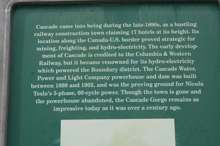
Ghost Town: Cascade City
Cascade City beginners started in 1896, before the railway construction crews arrived, with a restaurant and a store. By 1898 Cascade had 14 hotels and all the rest of the business to go with it. In 1899 the CP had passenger service at Cascade.
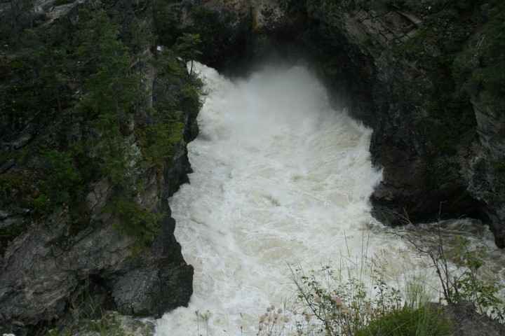
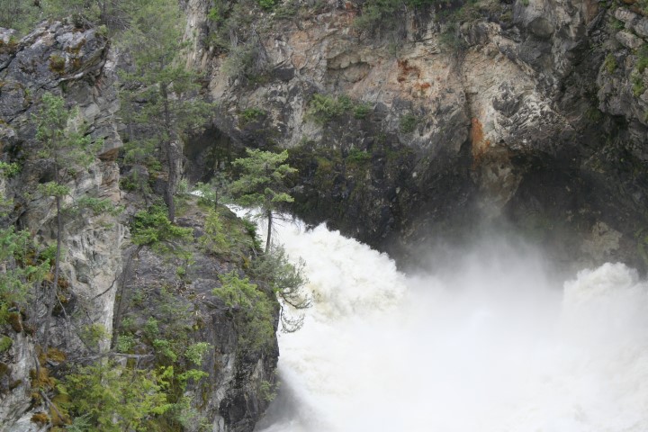
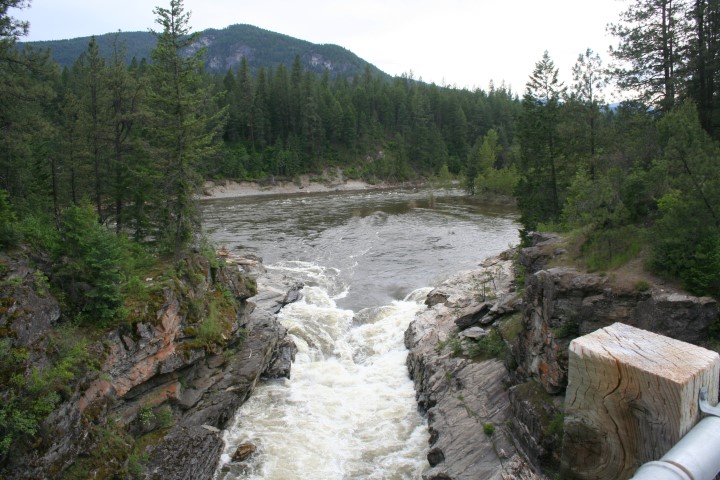
Cascade City was also called “The Gateway City” as it was situated close to the border and close to Cascade Falls, for generating electricity.
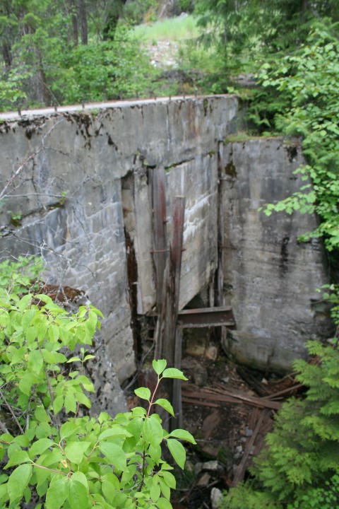
The Cascade Water Power & Light Co. Ltd. was incorporated in 1898, and started building its dam across the Kettle River. The powerhouse at Cascade would provide electric power to Grand Forks, Phoenix and Greenwood, as well as to various local mines and smelters
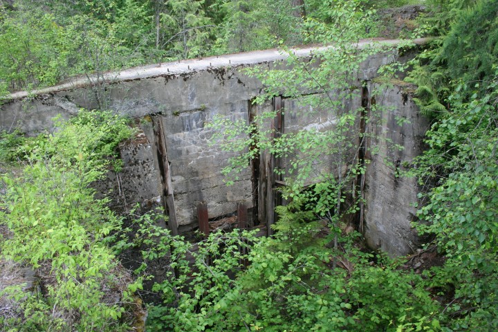
The dam consisted of timber crib work filled with 10,000 cu yards of rock. The dam was 40 ft thick at the bottom and 25 ft at the top and was 400 ft long. A 2700 ft flume through solid rock was constructed from the 150 ft Cascade Falls to the powerhouse. The water was diverted from the dam to the powerhouse, first by open rock cut 225 ft long, then by a tunnel of 410 ft through solid rock, and then by another open channel of 500 ft. At this point a concert bulkhead was built and a circular flume of 12 ft to the powerhouse conveyed the water. The tunnel and open cuts were so large that there was no loss of head from the dam to the powerhouse. Within two weeks of turning on the power valves broke in the main line causing lots of damage and it had to shut down. It was a year before they could supply power again in 1903. By 1907 The West Kootenay Power and Light Company purchased the Cascade Power Co.
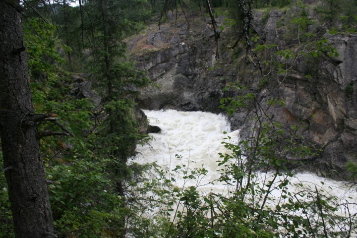
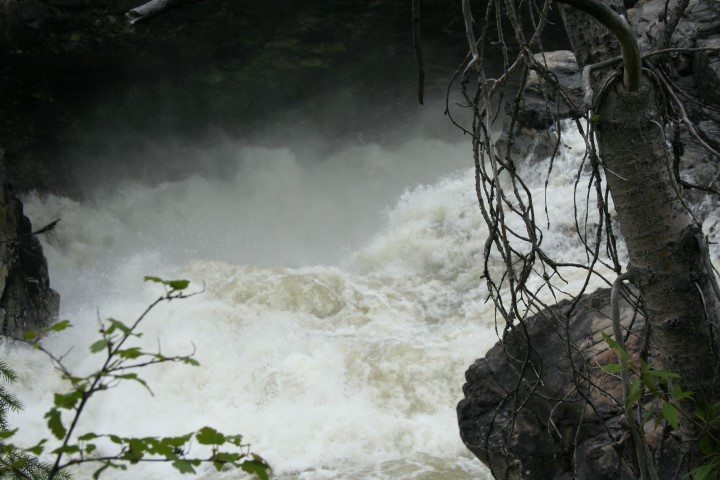
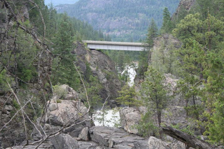
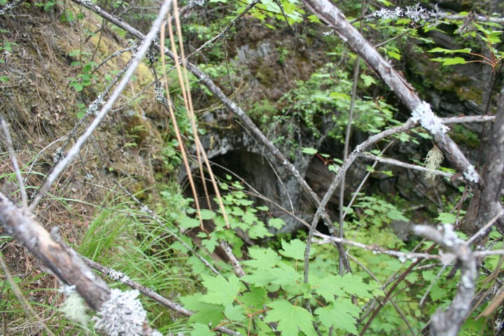
By the late 1890's Cascade City was a bustling community of approximately 1000 residents, with its own newspaper, The Cascade Record. However, this prosperity was to be short-lived. On September 30, 1899, Cascade was hit by the first in a series of devastating fires. The business district of the town was severely affected, and the second major fire, in the summer of 1901, caused further damage, leaving only one store and one hotel standing. A town which had boasted over a dozen hotels only a few years earlier was on its way to becoming a ghost town. In 1920 there were 150 residents and only one store.The CPR station was abandoned by 1968.Today, the only remainder of Cascade City is the old cemetery on the opposite side of the Kettle River. The Christina Lake Golf Course sits on much of the old townsite.The magnificent gorge can be seen from the bridge on Highway 395 or by following trails that lead to closer vantage points.
Cascade City was also called “The Gateway City” as it was situated close to the border and close to Cascade Falls, for generating electricity.
The Cascade Water Power & Light Co. Ltd. was incorporated in 1898, and started building its dam across the Kettle River. The powerhouse at Cascade would provide electric power to Grand Forks, Phoenix and Greenwood, as well as to various local mines and smelters
The dam consisted of timber crib work filled with 10,000 cu yards of rock. The dam was 40 ft thick at the bottom and 25 ft at the top and was 400 ft long. A 2700 ft flume through solid rock was constructed from the 150 ft Cascade Falls to the powerhouse. The water was diverted from the dam to the powerhouse, first by open rock cut 225 ft long, then by a tunnel of 410 ft through solid rock, and then by another open channel of 500 ft. At this point a concert bulkhead was built and a circular flume of 12 ft to the powerhouse conveyed the water. The tunnel and open cuts were so large that there was no loss of head from the dam to the powerhouse. Within two weeks of turning on the power valves broke in the main line causing lots of damage and it had to shut down. It was a year before they could supply power again in 1903. By 1907 The West Kootenay Power and Light Company purchased the Cascade Power Co.
By the late 1890's Cascade City was a bustling community of approximately 1000 residents, with its own newspaper, The Cascade Record. However, this prosperity was to be short-lived. On September 30, 1899, Cascade was hit by the first in a series of devastating fires. The business district of the town was severely affected, and the second major fire, in the summer of 1901, caused further damage, leaving only one store and one hotel standing. A town which had boasted over a dozen hotels only a few years earlier was on its way to becoming a ghost town. In 1920 there were 150 residents and only one store.The CPR station was abandoned by 1968.Today, the only remainder of Cascade City is the old cemetery on the opposite side of the Kettle River. The Christina Lake Golf Course sits on much of the old townsite.The magnificent gorge can be seen from the bridge on Highway 395 or by following trails that lead to closer vantage points.
The Cascade Gorge
Highway 395 bridge over the Gorge
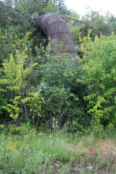
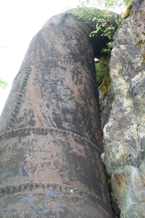
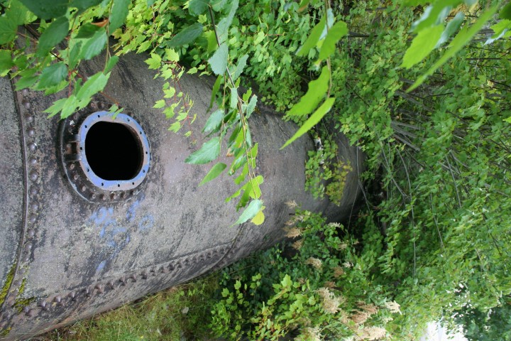
Remains of the Bulkhead
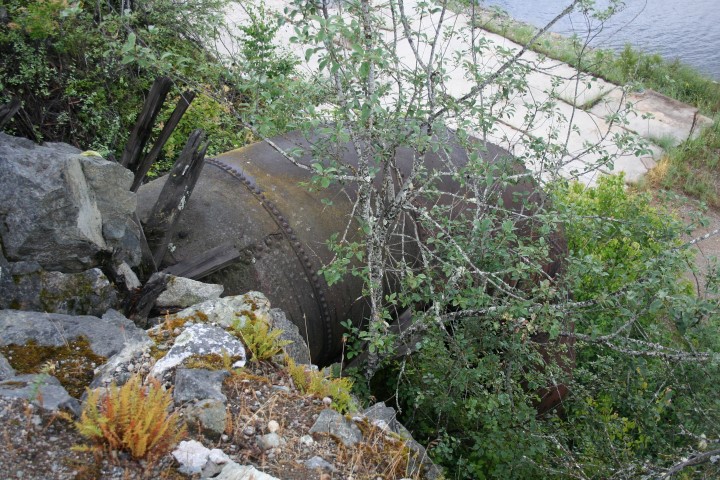
The flume that carried the water
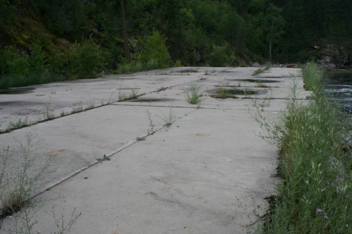
Remains of the powerhouse
Community of Cascade today
Christina Lake (known to the Indians as En-Chalm Lake) is just a few miles east of Grand Forks on highway #3, and just a couple of miles from Cascade City.
Named after Christina McDonald, the daughter of the chief trader at Fort Colville. The lake is 12 miles long and more then 500 feet deep in some sections. A sizable fault runs through the middle of the lake supplying constant geothermal heat which makes it the warmest tree-lined lake in Canada.
The Indians that lived along the Kettle River, left their legacy in pictographs on the rocks along the shores. Christina Lake is easily accessible from both the United States and Canada. Christina Lake enjoys warm, dry summers and relatively mild winters. The average winter temperature range is from 20 to 30F. In the summer the temperature ranges from 70 to 90F. Christina Lake is home to trout, small-mouth bass and kokanee salmon.
Where the Cascade Dam was built
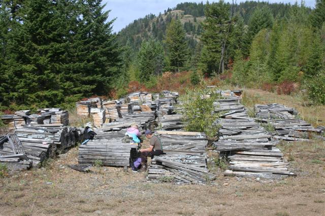
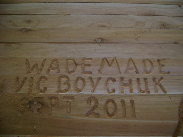
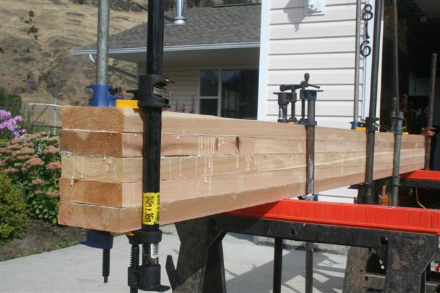
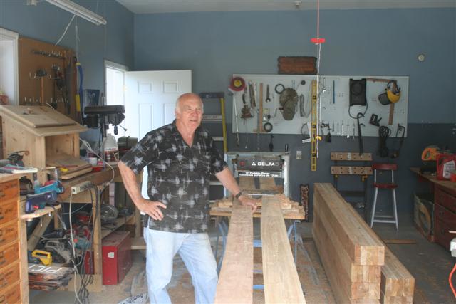
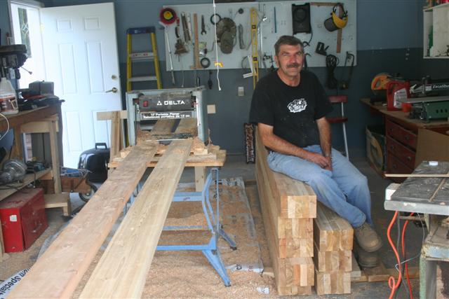
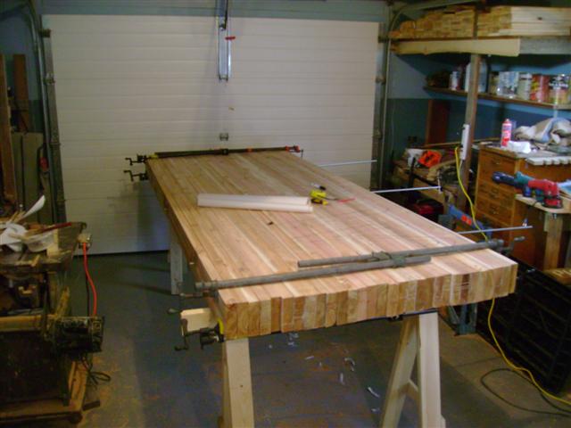
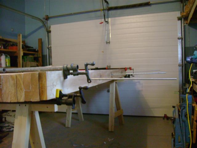
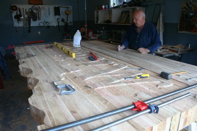
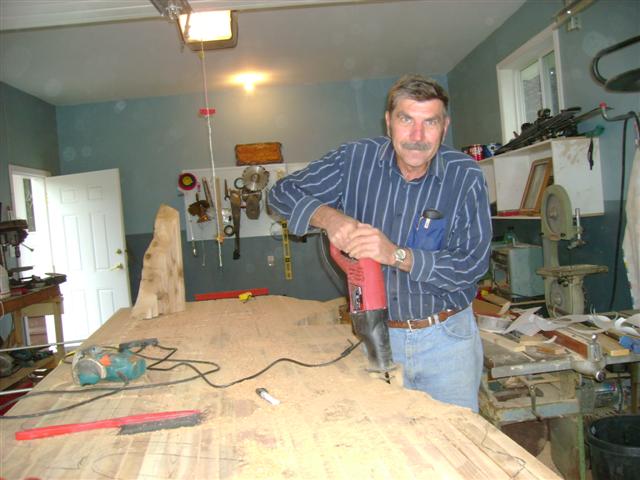
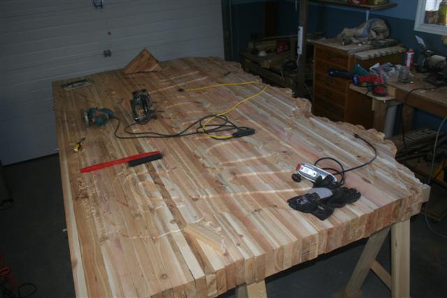
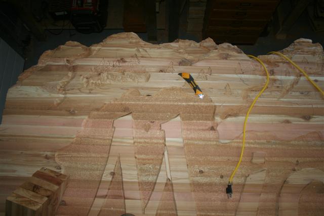
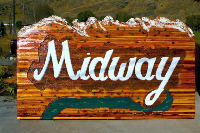
Building a sign for the Village of Midway BC
A video on The Lost City of Paris

This sign was made of 2x6 cedar laminate, six feet high by ten feet long. The sign is held together with three ready rods. The whole sign is carved out with a router. The background of the letters is textured to look like it was sandblasted. We finished the sign with two coats of linseed oil and three coats of varnish.

Check out the video on Building a Midway Sign
Click to watch a video on Cascade City
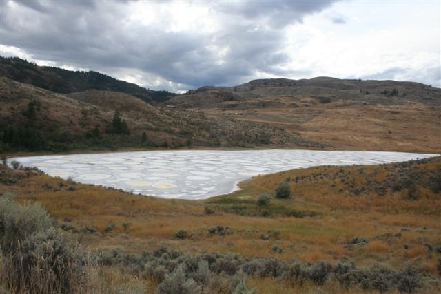
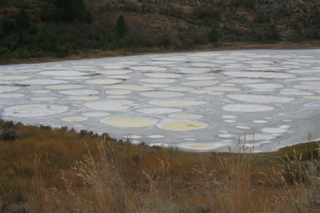
Spotted Lake is located 6mi west of Osoyoos, British Columbia near Richter Pass.
The brine crystals form a bowl-like shape covering approximately 50 per cent of the lake. The encircling mud rings are raised 4 to 19 inches above the crystal level, containing gypsum. The mud was determined to contain 75 per cent calcium sulphate. The lake was estimated to contain 49,914 tons of hydrous salts of magnesium and sodium with 13,006 tons of sodium carbonate salts (Bulletin 4,1940) Between 1915 and 1919, records indicate that 1500 tons of crystal (magnesium sulphite) was shipped by Stewart-Calvert Co. Ltd. from Spotted Lake to Oroville, Washington for refining and sale.
The brine crystals form a bowl-like shape covering approximately 50 per cent of the lake. The encircling mud rings are raised 4 to 19 inches above the crystal level, containing gypsum. The mud was determined to contain 75 per cent calcium sulphate. The lake was estimated to contain 49,914 tons of hydrous salts of magnesium and sodium with 13,006 tons of sodium carbonate salts (Bulletin 4,1940) Between 1915 and 1919, records indicate that 1500 tons of crystal (magnesium sulphite) was shipped by Stewart-Calvert Co. Ltd. from Spotted Lake to Oroville, Washington for refining and sale.
Christina Lake
Spotted Lake


Many people do not realize that the short two miles of highway 395 from Christina Lake to the border is Canada's only part of North America's longest road from Mexico City to Christina Lake, BC.


Our Vimeo Channel: The Goldseekers
Our U Tube Channel: TheGoldseekers